


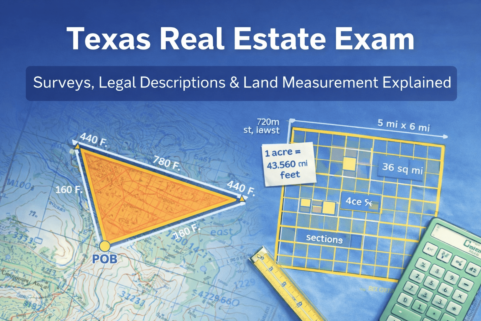
Texas Real Estate Exam Guide: Surveys, Legal Descriptions, and Land Measurement Made Simple
If you are studying for the Texas real estate exam, there is one section that almost everyone finds intimidating at first: surveys, legal descriptions, and land measurement. The vocabulary is unfamiliar, the math looks scary, and the questions feel very different from everyday real estate topics.
The good news? Once you understand the patterns behind these questions, this entire section becomes one of the easiest places to earn points.
This guide breaks down the most common exam concepts using real exam-style questions: legal descriptions, survey types, the rectangular survey system, and acreage calculations.
Why Legal Descriptions Matter on the Texas Exam
A legal description exists for one main reason:
👉 To create a consistent, unchanging method for locating a specific piece of property.
Street addresses change. Owner names change. Legal descriptions do not.
The exam will often test this directly. A legal description is not designed to eliminate all disputes or comply with federal law. Its purpose is to permanently identify land so surveyors, courts, and title companies can always locate the same parcel.
The Three Main Legal Description Systems
The Texas exam focuses on three major systems.
1. Metes and Bounds
This is the oldest and most flexible system.
Metes and bounds descriptions:
- Use directions and distances
- Reference monuments and landmarks
- Always begin and end at the Point of Beginning (POB)
Example wording looks like:
“…southeasterly along Happ Road to the stone landmark…”
A distinctive feature tested on the exam:
👉 Metes and bounds descriptions form an enclosed shape and return to the POB.
2. Rectangular Survey System (Public Land Survey System)
Also called the Public Land Survey System (PLSS).
This system divides land into:
- Townships
- Ranges
- Sections
Key exam facts:
- Township = 6 miles by 6 miles
- Township = 36 square miles
- Section = 1 square mile = 640 acres
Any time you see township, range, section, or fractions of a section, you are in PLSS territory.
3. Lot and Block (Plat System)
Used mostly for subdivisions and developed areas.
Deeds typically:
- Reference a recorded plat map
- Identify a lot number and block number
Subdivision plats must comply with local surveying standards and ordinances, not federal ones.
Survey Types You Must Recognize
The exam loves asking what survey is used for what purpose.
Here are the big ones:
🔹 Location Survey
Shows:
- Boundary lines
- Improvements
- Encroachments
Often paired with a topographic survey.
🔹 Topographic Survey
Shows:
- Elevations
- Slopes
- Drainage
- Physical land features
Used for:
- Site design maps
- Subdivision planning
- Erosion control plans
🔹 Site Planning Survey
Uses boundary + topographic data to design future improvements.
Think: architects, engineers, and developers.
🔹 Construction Survey
Used to stake out:
- Buildings
- Roads
- Utilities
Exam clue word: “stake.”
🔹 ALTA/ACSM Survey
Geared toward commercial transactions.
Used by lenders, title companies, and commercial buyers.
Benchmarks, Datums, and Monumentation
These terms often appear as definitions.
- Datum: a standard elevation reference point
- Benchmarks: fixed reference points used to simplify surveys
- Monumentation: placing permanent physical markers on the land
If the question mentions permanent objects marking surveyed points, monumentation is your answer.
Land Measurement Formulas You Must Memorize
These come up constantly.
🔢 Core Numbers
- 1 mile = 5,280 feet
- 1 square mile = 640 acres
- 1 acre = 43,560 square feet
- Township = 36 square miles
Texas-specific:
- 1 vara = 33 1/3 inches
- 3 varas = 1 yard
- 36 varas = 100 feet
Acreage from Rectangular Survey Descriptions
Always start with:
👉 1 section = 640 acres
Then divide.
Example:
NW ¼ of SW ¼ of NE ¼ of a section
640 ÷ 4 = 160
160 ÷ 4 = 40
40 ÷ 4 = 10 acres
Each “¼” means divide by four again.
Metes and Bounds Area Problems
The exam keeps these simple.
Rectangular shapes:
Area = length × width
Then convert:
Square feet ÷ 43,560 = acres
Example:
440 ft × 780 ft = 343,200 sq ft
343,200 ÷ 43,560 ≈ 7.88 acres
Triangular shapes:
Area = (base × height) ÷ 2
Then convert to acres.
Example:
375 ft × 450 ft = 168,750
168,750 ÷ 2 = 84,375 sq ft
84,375 ÷ 43,560 ≈ 1.94 acres
The exam is not testing trigonometry. It is testing whether you recognize a triangle.
Township and Section Size Questions
If they ask which is larger:
- Two sections = 2 square miles
- 1 mile × 2 miles = 2 square miles
- 10% of a township = 3.6 square miles
- Four square miles = 4 square miles
Know the township math and you win these instantly.
Condo Law Crossover Questions
Texas condo plats fall under the:
👉 Texas Uniform Condominium Act
This act requires condominium plats to show:
- Vertical boundaries (floors and ceilings)
- Horizontal boundaries (outside limits)
This shows up more often than most students expect.
Final Exam Strategy for This Section
This entire topic looks technical, but it is actually one of the most pattern-based parts of the exam.
Once you lock in:
- 640 acres per section
- 43,560 sq ft per acre
- Township = 6 miles by 6 miles
- POB closes a metes and bounds description
- Construction survey = staking
- Topographic survey = elevation
- ALTA survey = commercial
…you start recognizing answers immediately.
This is one of the few chapters where memorization + pattern recognition can dramatically boost your score.
And once it clicks, it becomes one of the easiest sections on the test.